


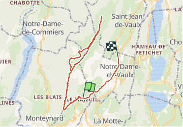

8,4 km | 12,9 km-effort


Utilisateur


Application GPS de randonnée GRATUITE
 SityTrail
IGN / Instituts géographiques
SityTrail World
Le monde est à vous
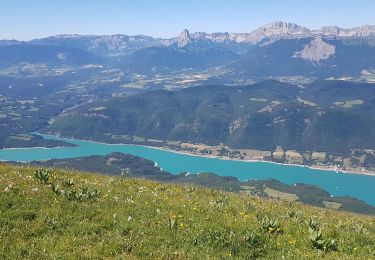
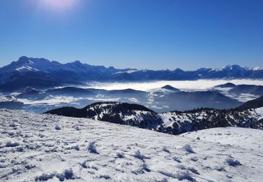
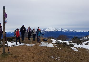
Randonnée Marche de 19,4 km à découvrir à Auvergne-Rhône-Alpes, Isère, La Motte-Saint-Martin. Cette randonnée est proposée par sabine38.
Marche

V.T.T.
Marche
Marche
Marche

Marche
V.T.T.
Marche
Marche
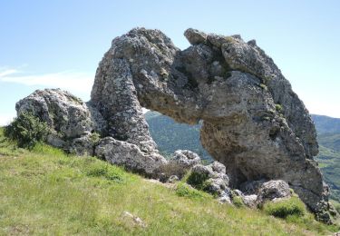
désente difficcicilr Ii